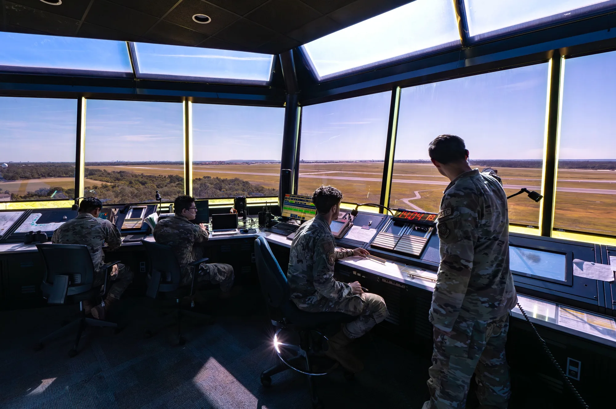
To obtain LAANC authorization, use an FAA-approved service supplier, enter your flight area, maximum altitude, date, and time, then wait for an approval covering that operation. LAANC means Low Altitude Authorization and Notification Capability. It connects a provider's application to the FAA's airspace authorization process; an approved request supplies airspace permission, while the pilot remains responsible for the flight.
The process below focuses on U.S. Part 107 operations. Recreational flyers can use LAANC's near-real-time route, but further coordination above facility-map ceilings is available only to Part 107 pilots. Start with the FAA's current LAANC service-supplier list, which identifies each supplier's supported services.
In This Guide
- Confirm the airspace and application route
- Prepare the pilot and flight details
- Read the map before choosing an altitude
- Submit the request and read the response
- Make the final preflight decision
- Keep a usable authorization record
Confirm the airspace and application route
For Part 107, 14 CFR 107.41 requires prior ATC authorization in Class B, C, or D airspace and within the lateral boundaries of Class E surface airspace designated for an airport. Identify the airspace at the actual operating location and altitude. Distance from an airport alone does not answer that question, and every Class E area is not an airport surface area.
Use this routing table before committing a crew or delivery date.
| Proposed operation | Application route | Scheduling implication |
|---|---|---|
| LAANC-supported area, at or below the applicable facility-map ceiling | Near-real-time LAANC request | Wait for an actual approval before flight |
| Part 107 operation above a map ceiling, including a zero-foot grid | LAANC further coordination where supported, up to 400 feet AGL | Submit at least 72 hours ahead; approval is not guaranteed |
| Controlled airspace without LAANC service | FAA DroneZone airspace authorization | Manual processing requires advance planning |
| On-airport operation | FAA DroneZone | LAANC is not the route for on-airport authorization |
| Operation requiring both a waiver and an airspace authorization | FAA DroneZone for both | Plan for the additional review |
Source basis: FAA LAANC, Part 107 authorization, and on-airport guidance, checked September 7, 2026. The routing summary is an editorial synthesis, not an approval for a particular location.
The FAA permits LAANC requests up to 90 days ahead. Its Part 107 page sets a 72-hour minimum for further coordination, which involves manual review; that minimum is not a promise of a decision within three days. For the manual authorization route, plan around the FAA's instruction to submit at least 60 days before the proposed operation. See the FAA's authorization instructions.
For airport property, the FAA expressly directs operators to DroneZone and recognizes the airport sponsor's authority over access to operate from the property. A LAANC-enabled airport does not remove that separate route. Read the FAA's on-airport operating guidance before proposing an airport inspection or similar job.
Prepare the pilot and flight details
The remote pilot in command needs the appropriate Remote Pilot Certificate and current aeronautical knowledge. FAA guidance specifies qualifying recurrent training within the previous 24 calendar months. Have the certificate accessible during operations; an application profile does not replace it. The FAA remote-pilot guide explains certification and recency.
Confirm that the aircraft is properly registered for Part 107, marked, and compliant with applicable Remote ID requirements. Carry the registration certificate in paper or digital form. The FAA's registration guidance explains these obligations, including the difference between recreational and Part 107 registration.
Before opening the request form, assemble:
- The pilot's identity, certificate details, and a working contact number.
- The operating area, including the aircraft's complete intended route.
- The flight date, start and end times, and the time zone displayed by the application.
- The required maximum height above ground level, abbreviated AGL.
- The mission purpose and any explanation needed for further coordination.
As an operating practice, sketch the mission first. Mark where the aircraft will turn, return, and land, rather than describing only the camera's target. This helps prevent an authorization boundary from cutting across the route you actually need.
Read the map before choosing an altitude
The numbers on UAS Facility Maps identify ceilings the FAA may authorize without additional safety analysis. They are planning inputs. Seeing a number in a grid does not grant permission to fly there.
The FAA's facility-map FAQ specifies that map heights are AGL and that the maximum altitude in an authorization is the maximum permitted height above the ground. Check every grid crossed by the proposed operation. Do not use a higher number in an adjacent cell to justify flight above a lower ceiling.
Consider this hypothetical planning exercise: a survey route crosses cells marked 100 and 200 feet, while the aircraft needs 150 feet AGL throughout. The 100-foot portion creates an above-grid request. A workable response may be a lower flight that still achieves the task, a genuinely smaller operating area, or further coordination. Moving the application boundary while leaving the actual flight route unchanged does not solve the problem.
A zero-foot cell therefore means there is no positive automatic altitude allowance in that cell. It does not establish that every Part 107 request must fail: the FAA describes further coordination for zero-foot grids, subject to review and the on-airport exception.
Terrain also matters. As a planning precaution, check how the aircraft displays height relative to its takeoff point. A return flight over lower ground can have more height above the surface than the same displayed takeoff-relative value suggests. Plan terrain clearance and authorization compliance together; do not assume the controller display alone resolves both.
Submit the request and read the response
LAANC compares requests with FAA airspace information, including facility maps, restrictions, and notices. The provider presents the application and response. Button names vary, so follow the current supplier's interface while checking these details:
- Select the correct operating rule. Use Part 107 for the Part 107 operation being planned.
- Locate and draw the operating area. Compare the displayed boundary with the mission sketch, including turns and recovery.
- Enter the actual schedule and altitude. Check the date, time zone, duration, units, and AGL ceiling before submission.
- Use the appropriate request path. If further coordination is necessary, explain the location, task, proposed height, and relevant risk controls accurately.
- Read the returned status and full terms. A submission receipt or a request still awaiting an FAA decision is not an authorization. Confirm approval, then compare its area, times, height, and provisions with the flight you intend to conduct. The FAA's LAANC supplier performance rules, section 3.4, distinguish a confirmed response from an incomplete request or one still awaiting a decision.
If the request is denied or unresolved, do not launch in airspace requiring authorization. Review the stated reason and revise the actual mission where appropriate. The FAA notes that facilities may provide guidance on denied further-coordination requests. A shorter or lower mission is useful only if it still meets the job's requirements safely.
An unavailable application or a failed submission is also not permission. Resolve the service problem, use another applicable authorization route, or postpone the operation. Save an existing approval offline for access, but still check its status and current restrictions before flight.
Do not add a routine tower call to every flight. The FAA says tower notification is unnecessary unless the authorization specifically requires it. If it does, follow those instructions. If the planned location, height, or time changes, secure an approval covering the revised operation before flying it.
Make the final preflight decision
Authorization is one input to preflight. Under 14 CFR 107.49, the remote pilot must assess weather, airspace restrictions, people, property, and other ground hazards. The rule also requires crew briefings, working control links, adequate power, and secure attachments. Applicable requirements for operations over people remain separate.
Use this final check at the site:
- Recheck temporary flight restrictions, NOTAMs, weather, and the authorization's current status.
- Match the approved boundary, altitude, and time window to the mission loaded into the aircraft.
- Brief the crew on limits, hazards, communications, and the response to an instruction to stop.
- Check control links, battery sufficiency, payload security, and the planned recovery route.
- Confirm that the operation satisfies its other Part 107 requirements, including visual line of sight under 107.31 and any applicable night provisions.
For night operations, an airspace approval does not supply the pilot-training or anti-collision-lighting requirements. FAA authorization guidance specifies lighting visible for at least three statute miles, with a flash rate sufficient to avoid a collision, alongside the applicable training and authorization conditions.
The FAA can suspend or cancel an authorization when conditions change and may contact the responsible operator using the supplied telephone number. Keep that number reachable. If the approved conditions or safe operating conditions no longer hold, stop or postpone the flight.
Keep a usable authorization record
Save the complete approval and its conditions where the crew can retrieve them without depending on a fresh login or reliable site connectivity. The following is a recommended company record set, not a claim that LAANC creates a universal flight-log format:
- Authorization reference and complete approval text.
- Approved area or boundary map, maximum AGL altitude, date, time window, and time zone.
- Responsible pilot and operational contact details.
- Any coordination instructions and a record of required contacts.
- Preflight decision, actual flight timing, and any cancellation or departure from the original plan.
Keep the issued approval distinct from a map screenshot or submission receipt. Before dispatch, have another crew member compare the approval with the mission plan where staffing permits. Afterward, file the flight record with that exact approval so a later reviewer can understand which operation it covered.
The next useful step is to define the smallest practical operating area, the height the task actually needs, and a realistic flight window. Choose the application route from those facts, obtain the approval, and complete the site preflight before launch.
Sources
- FAA: UAS Data Exchange (LAANC). Official program guidance on service suppliers, request processing, recreational access, and authorization limits.
- 14 CFR 107.41. Regulatory text identifying airspace that requires prior ATC authorization.
- FAA: Part 107 Airspace Authorizations. Application routes, lead times, further coordination, and night-operation conditions.
- FAA: On Airport Unmanned Aircraft System Operations. On-airport application and property-access distinctions.
- FAA: Become a Certificated Remote Pilot. Pilot certification, certificate access, and knowledge recency.
- FAA: How to Register Your Drone. Registration, marking, registration-certificate possession, and Remote ID obligations.
- FAA: UAS Facility Maps. The purpose of grid ceilings and why a map is not authorization.
- FAA: UAS Facility Map FAQ. AGL reference, above-grid review, contact information, and cancellation.
- 14 CFR 107.49. Preflight assessment, crew briefing, and aircraft preparation requirements.
- FAA LAANC USS Performance Rules, version 8.0.1, section 3.4. Supplier requirements for confirmed automatic and further-coordination responses; used for that process distinction.
- 14 CFR 107.31. The separate visual-line-of-sight operating requirement.
Last checked: September 7, 2026.